Drilling and Assay Management Workflow: A Complete Guide
Discover how maxgeo connects drilling, sampling, assays and QA/QC in one integrated exploration workflow to improve data quality, governance and decision-making
Every exploration program depends on accurate drilling, sampling and assay data to support confident decision-making. However, when these processes are managed across disconnected spreadsheets, databases and systems, teams face duplicated effort, inconsistent datasets and delays in accessing reliable information.
An integrated drilling and assay management workflow connects the exploration lifecycle from drill planning and geological logging to sample tracking, laboratory assays and QA/QC providing a single, trusted data environment. This guide explores how maxgeo helps exploration teams improve data quality, governance and efficiency.
Why an Integrated Workflow in Exploration Matters
Modern exploration programs generate large volumes of distributed data across field teams, contractors, and laboratories. When this information is managed in disconnected spreadsheets or standalone systems, it quickly leads to data silos, version conflicts, and inconsistent datasets.
The core challenge is not just data collection, it is ensuring that all drilling, sampling, and assay information exists within a single source of truth.
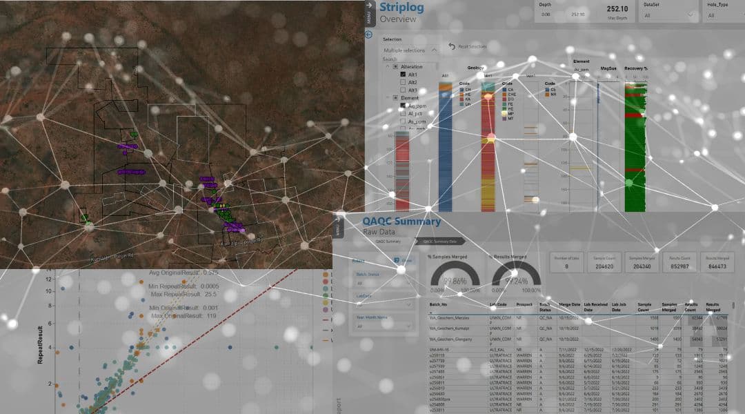
maxgeo addresses this by connecting every stage of the drilling lifecycle within one integrated system. Drillhole data, geological logging, sample tracking, laboratory results, and QA/QC workflows are all linked in real time, ensuring that updates in one part of the system are immediately reflected across the entire dataset.
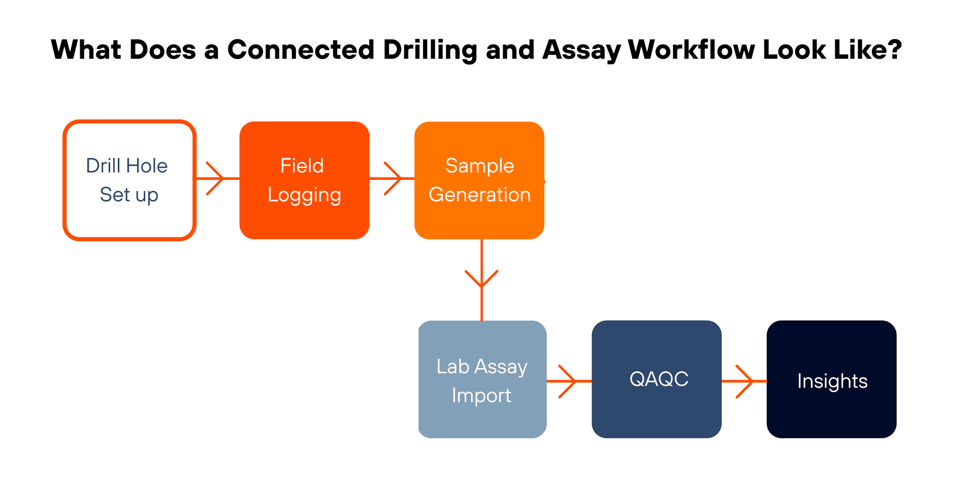
This eliminates duplicated data entry, reduces reconciliation effort between systems, and ensures that exploration teams are always working from a consistent, validated dataset.
By maintaining this connected data environment, maxgeo provides a foundation for reliable reporting, transparent audit trails, and confident decision-making throughout the exploration process.
What are the key stages of a Drilling and Assay Workflow?
Drill Program Setup and Hole Management
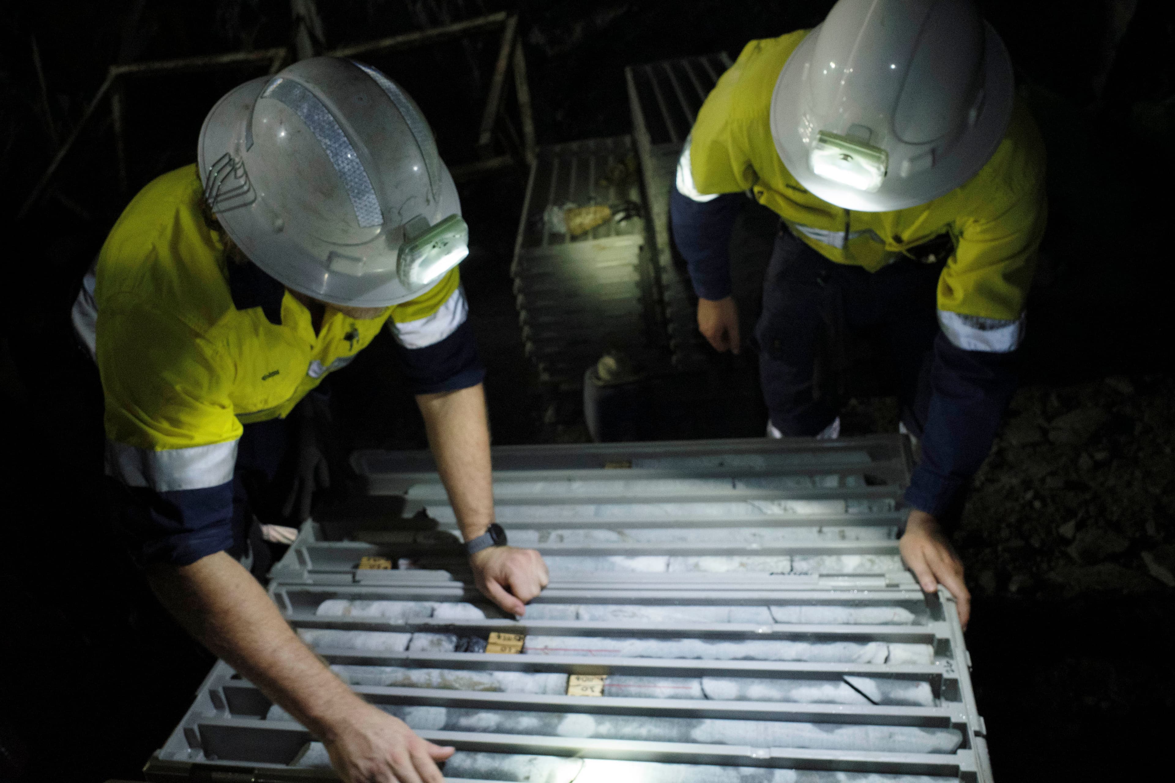
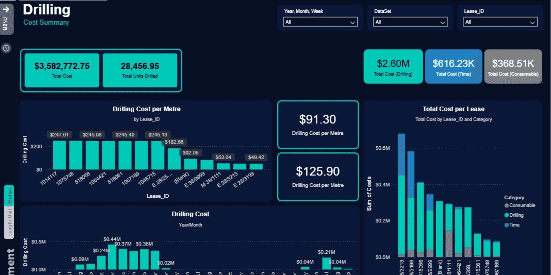
Drilling programs begin with structured drillhole creation and management within datashed.
maxgeo supports:
- Drillhole planning and setup (collars, azimuth, dip, depth)
- Project and prospect assignment
- Drill status tracking (planned, in progress, completed)
- Continuous drillhole history with full audit traceability
All drillhole metadata is stored within datashed, ensuring consistency between planning assumptions and field execution.
2. Field Logging and Interval Data Capture
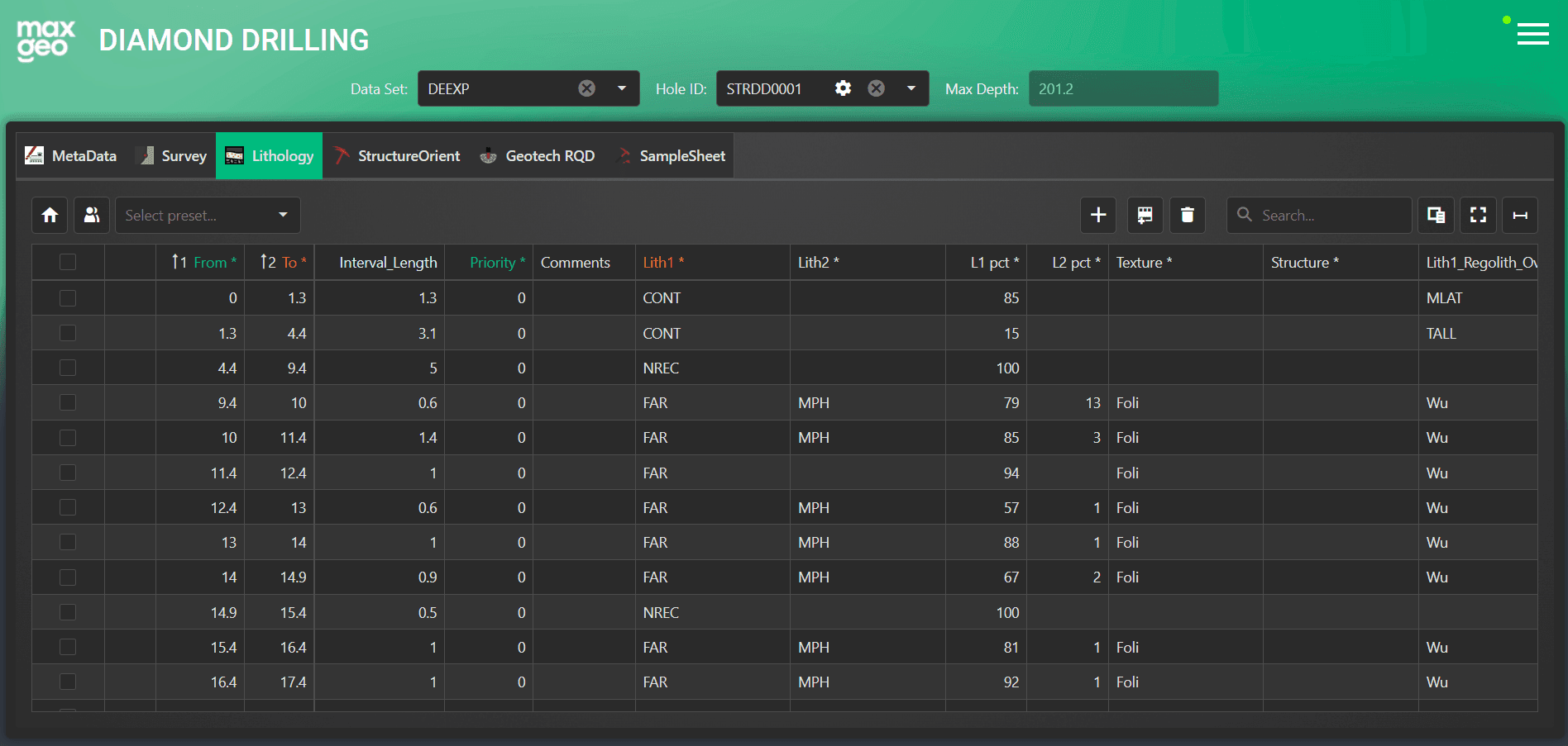
Geological logging is captured directly against drill intervals using logchief lite and logchief, ensuring immediate integration with the drillhole record.
Typical logged datasets include:
- Lithology and alteration codes
- Mineralisation and structure
- Weathering profiles
- Recovery and RQD
- Geotechnical and geochemical observations
Data validation is applied at the point of entry to ensure interval integrity and prevent downstream inconsistencies (e.g. overlaps, gaps, or invalid depths).
Because logging is directly linked to the drillhole entity, updates propagate instantly across the system with synchronisation.
3. Sample Generation and Chain of Custody Tracking
Sample generation is taken directly from logged intervals, ensuring that sampling is always consistent with geological and drilling data.
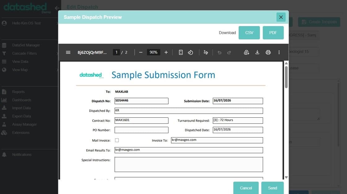
datashed manages the full chain of custody:
- Automated sample number generation
- Dispatch batch creation
- Laboratory submission tracking
- Sample location and status monitoring
- Turnaround time visibility
Each sample remains relationally linked to its drillhole, interval, geological logging and eventual assay results eliminating fragmentation between sampling spreadsheets and geological databases.
4. Laboratory Assay Import and Validation
Laboratory data is typically one of the most fragmented components in exploration workflows due to inconsistent file formats and delayed submissions.
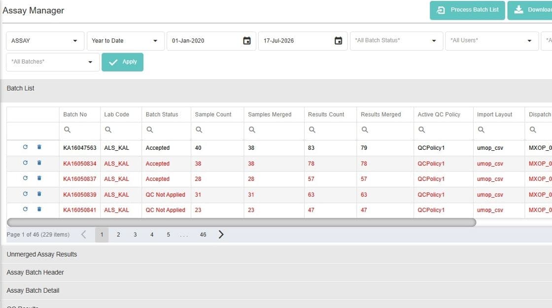
maxgeo standardises this process through controlled assay import workflows via our AAL integration. Before data is imported in the database, the system performs automated validation checks such as:
- Sample ID reconciliation against dispatch records
- Detection of missing or duplicated samples
- Validation of analytical methods and units
- Interval and depth consistency checks
- Structural integrity of lab files
Only validated datasets are imported, ensuring that users are always working with reliable data.
5. Integrated QA/QC Monitoring
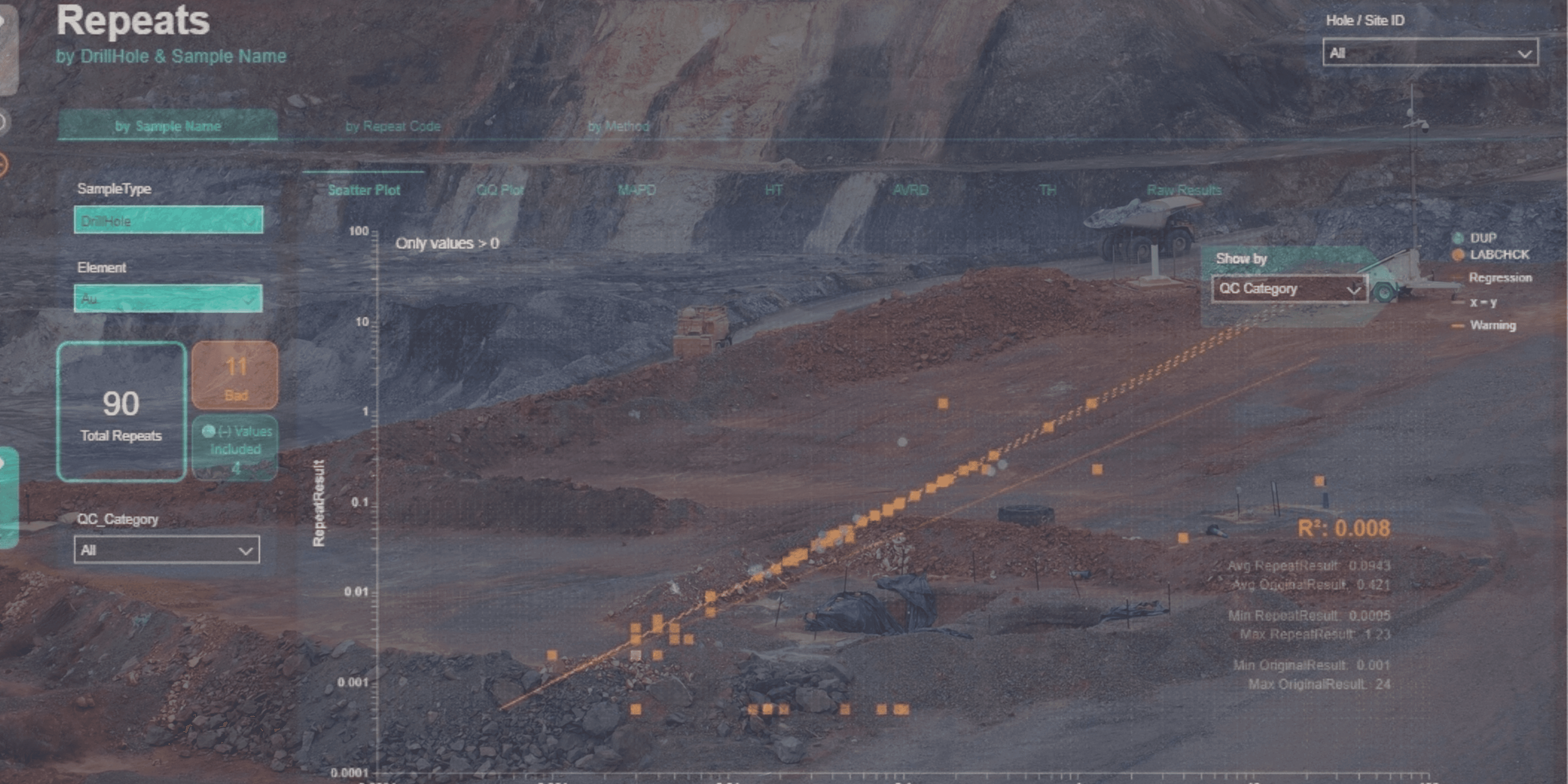
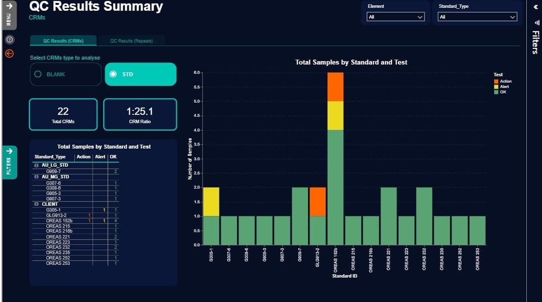
QA/QC is embedded directly into the data workflow rather than treated as a post-processing step.
The system continuously monitors:
- Certified reference materials (standards)
- Blanks and contamination checks
- Field and laboratory duplicates
- Batch performance trends
- Control chart deviations
This enables real-time identification of analytical issues before they affect interpretation or resource modelling.
By integrating QA/QC into the same data environment as drilling and assays, quality assurance becomes a continuous process rather than a retrospective audit.
6. From Validated Data to Decision-Ready Outputs
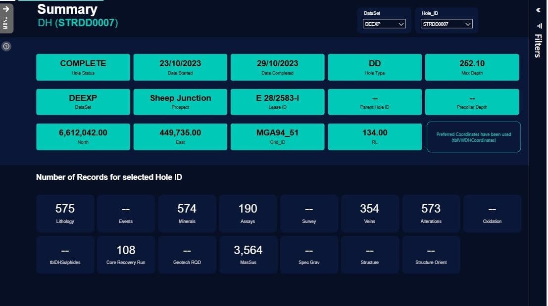
Once drilling, sampling, and assay data are validated, they immediately become available for downstream workflows including:
- Geological interpretation
- Resource modelling
- GIS integration
- Reporting and compliance
- Enterprise data systems
Because all data originates from a single source of truth, there is no need for manual reconciliation between drilling, assay, and QA/QC datasets.
This significantly reduces the time between data acquisition and decision-making, enabling faster and more confident exploration outcomes.
Why a Single Source of Truth Matters
The greatest value of an integrated exploration platform is not simply automation—it is consistency.
By connecting drilling, geological logging, sample management, laboratory assays and QA/QC within one environment, exploration teams can ensure:
- All teams operate from the same validated dataset
- Data inconsistencies are identified at the source
- Manual reconciliation is minimised
- Decision-making is based on consistent, auditable information
Ultimately, the goal isn't just to streamline exploration workflows, it's to create a connected data environment where every team is working from the same trusted information.
maxgeo provides a fully connected drilling and assay management ecosystem designed to eliminate data silos and establish a single, trusted source of exploration truth.
By bringing drillhole management, geological logging, sample tracking, laboratory assay imports and QA/QC together in one integrated platform, maxgeo helps exploration teams improve data quality, reduce administrative effort, and make faster, more informed decisions.